New Interactive Recreation Map Added to Website

TRGT is adding an interactive outdoor recreation map to the website! Whether it be by boat, foot, cycle etc, there are so many ways to access and enjoy the Tennessee River Gorge. This interactive map will not only provide a visual representation of the Gorge, but also contain interactive icons. The map features a variety of recreational activities that can be accessed through TRGT’s protected lands and neighboring public lands. The map is available below or at our get outside page.
Each icon will provide pertinent information to the recreation area or activity. URL links will be made available for certain recreational features (campsite reservations, trail information). Additionally, access icons will be made available for features such as boat ramps, parking/trailhead information, marinas etc.
Navigating the map

· Click and drag the map to move around.
· Zoom functions can be used with the plus/minus icons on the upper left-hand corner. Zooming in to certain areas may provide more icons to discover.
· Click on an icon you are interested in to learn more about the area.
· Words or URLs highlighted in blue can be clicked on and a new tab will open, providing more information about the activity or destination.
Tennessee River Gorge Activities/Destinations on the Map

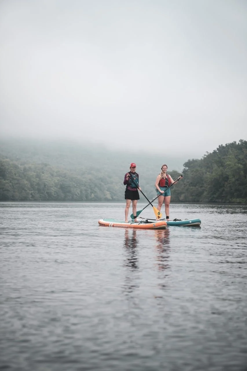
Photo by Micah Gentry
· Camping (Williams Island, Lower Pot Point Campsites etc.)
· Hiking (Ritchie Hollow, Pot Point, Cumberland Trail etc.)
· Rock Climbing (Lower Pot Point Boulder field, Tennessee Wall etc.)
· Mountain Biking (Raccoon Mountain Bike trails, Stringers Ridge)
· Scenic Overlooks (Edwards Point, Snoopers Rock etc.)
· Bird Watching (Lower Pot Point trail, William’s Island)
· And More! (Whitewater kayaking, swimming areas, waterfalls etc.)
Outdoor Recreation Map